EdgeServer
Scalable, enterprise grade, on-prem processing solution.
No matter how complex the data requirements, see why global customers choose Skycatch solutions for repeatability, accuracy and higher frequency of data


Scalable, enterprise grade, on-prem processing solution.
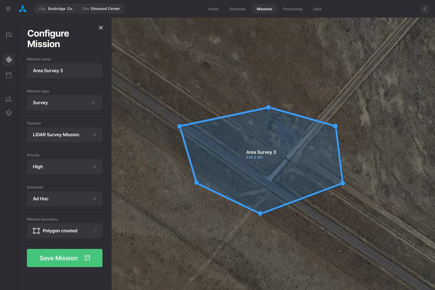
Innovative planning tool for efficient project management and collaboration.
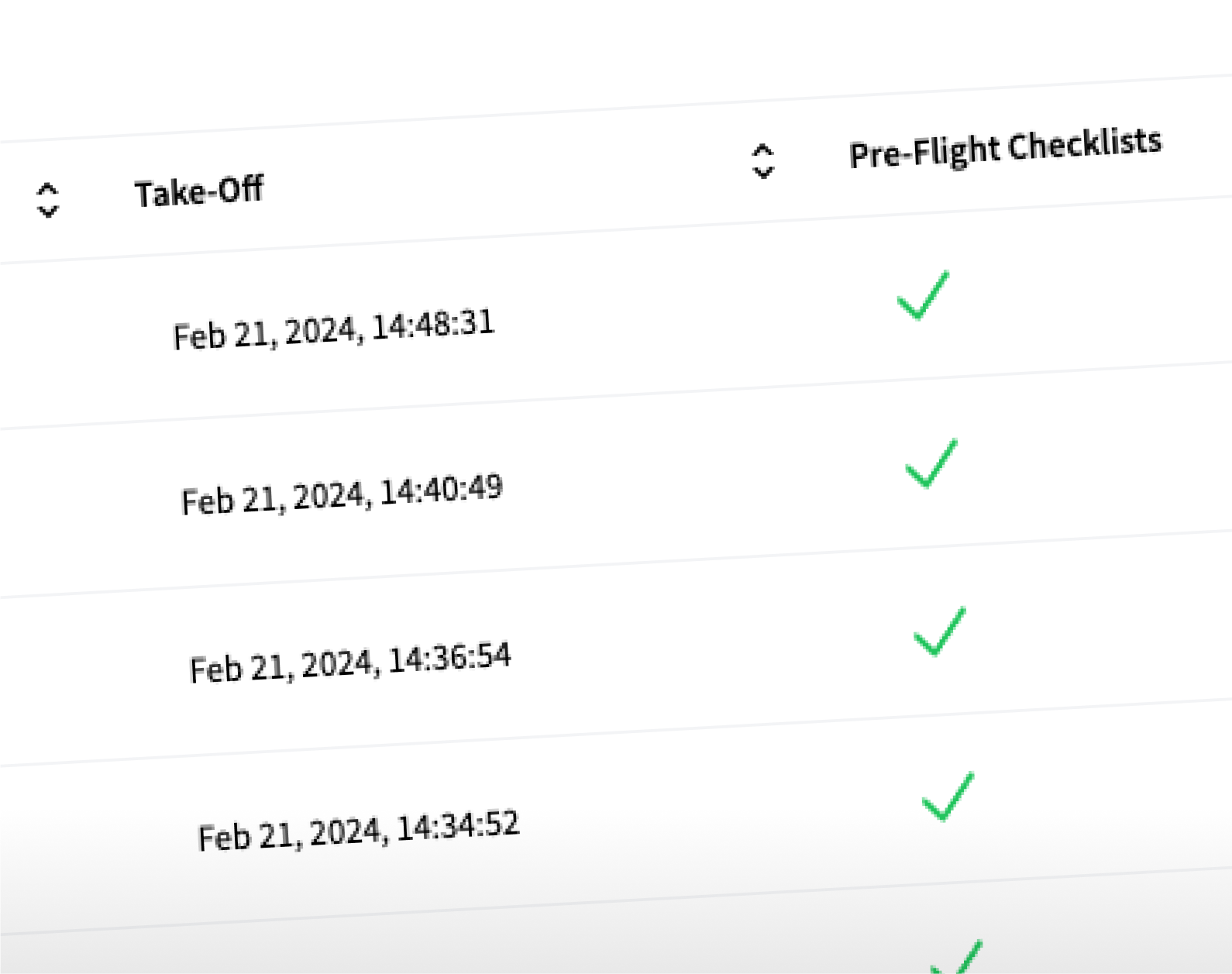
Comprehensive compliance & fleet management platform.
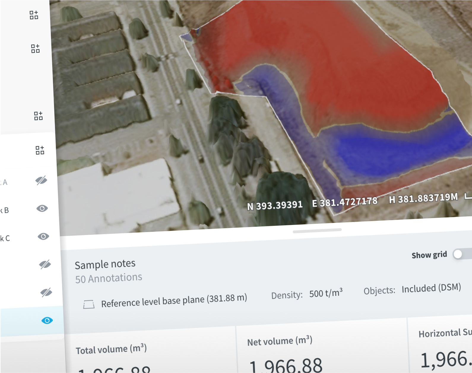
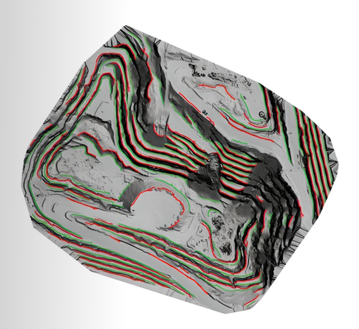
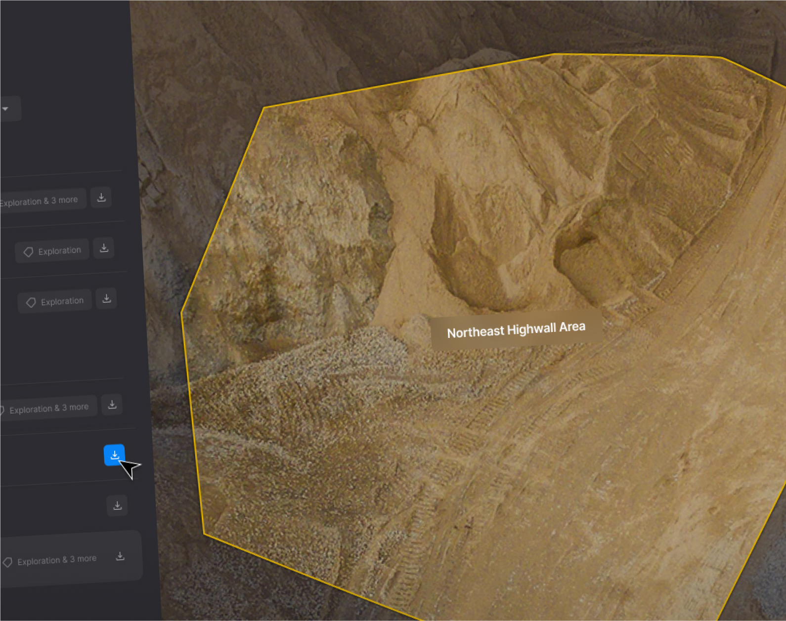
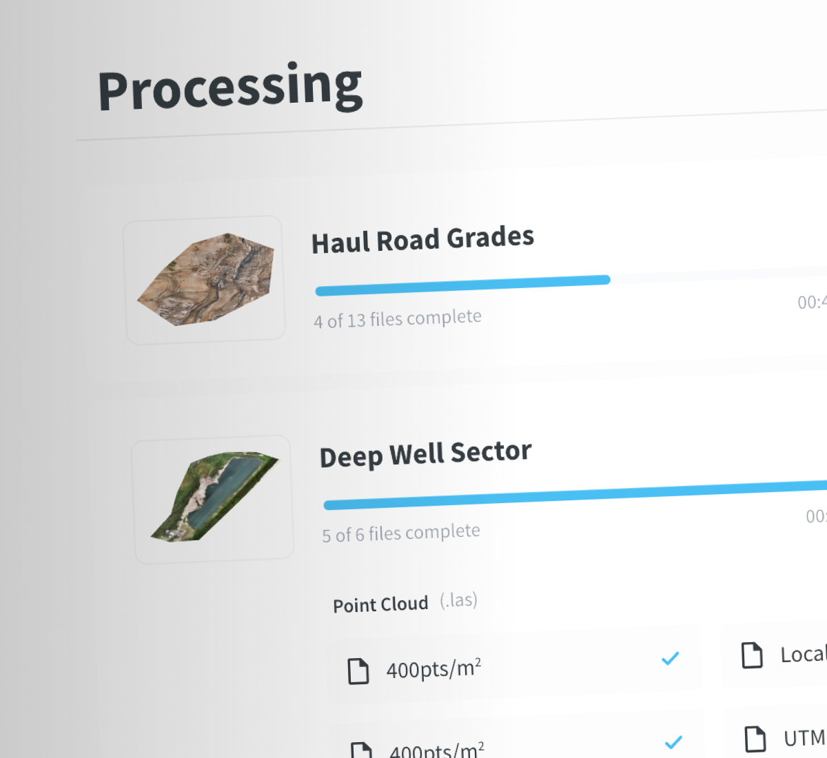
Centralized data management and analytics platform for site visibility and data management.
Suite of cutting-edge computer vision and machine learning automate value extraction from data.
Self-serve mapping solution using drone technology for any size operation.
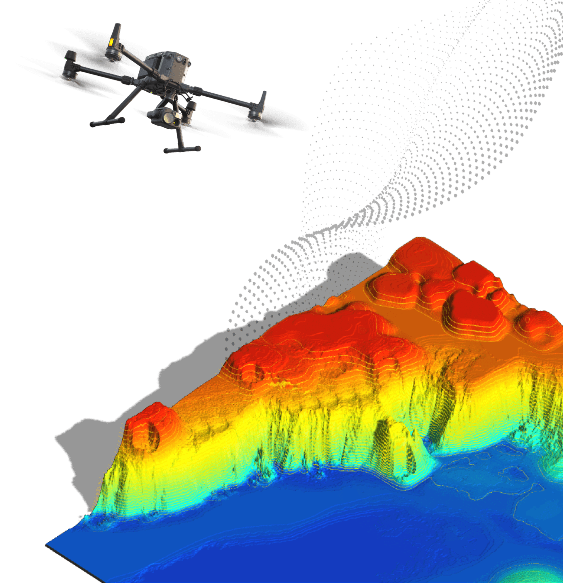
The Skycatch solution reduces our time to obtain high accuracy 3D data by 60% versus traditional photogrammetry. We are able to capture 3x the area with Skycatch in 10-15 minutes compared to 3 hours with a laser scan. And, with no blind spots! Safety is a priority for us and reducing the exposure of personnel in the mine has been a tremendous benefit.
Hugo Padilla
Mine Engineer & Lead Surveyor in Quellaveco, Peru